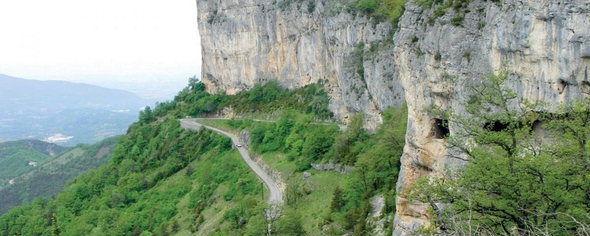
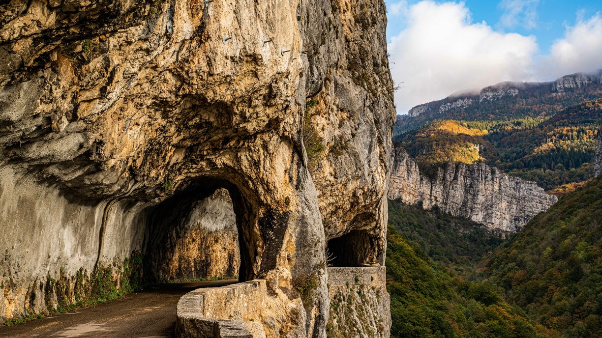
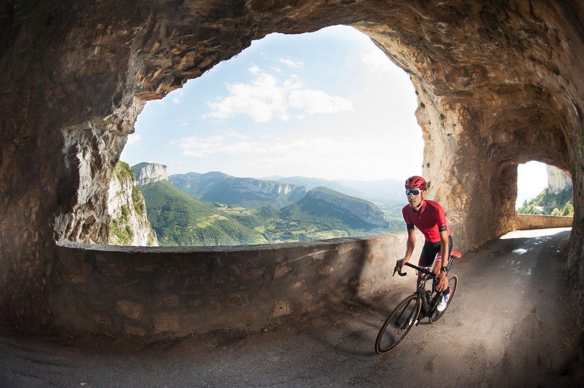
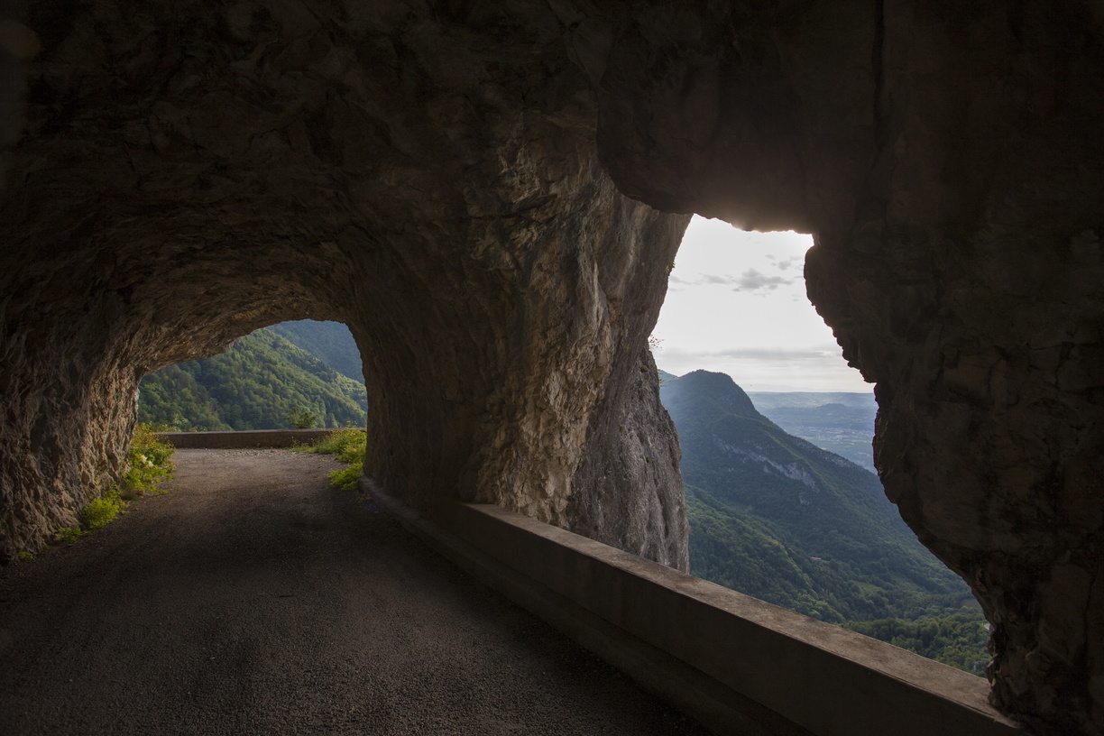
Before setting off on the roads of the Vercors, take a moment. Here, the road is part of the journey: it winds through gorges, climbs towards mountain passes, and carves a passage through the cliff.
The road network is sometimes narrow and winding—that's part of its charm, but it encourages you to slow down. Ride at a leisurely pace, savor the views, and share the road with the many cyclists who love our mountain passes: courteous driving and a safe passing distance make all the difference.
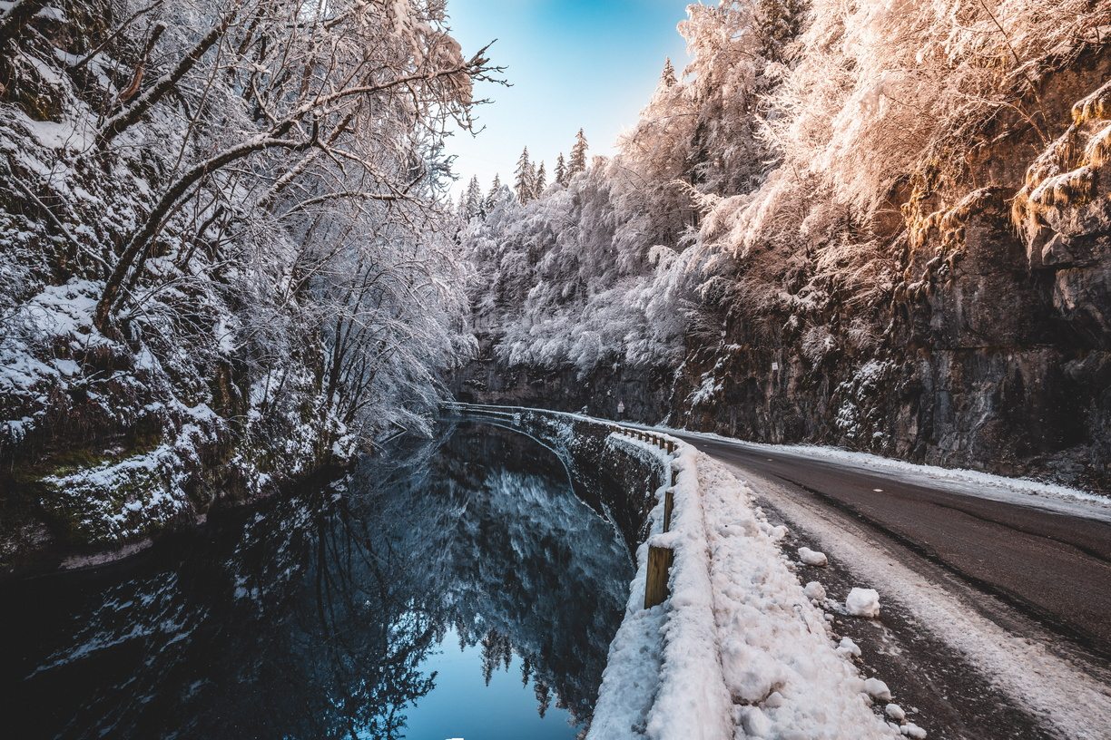
In winter, remember your equipment: tires or chains may be mandatory in mountainous areas (see below). And in the villages you pass through, be gentle on the accelerator: the locals will thank you.
This page is updated regularly by the Tourist Office. As the Tourist Office is not responsible for road maintenance, unforeseen circumstances may arise: if in doubt, please refer to the official sources below. And if you notice any changes, please let us know – you will be helping future travelers.


Planning your route in the Vercors
Real-time road conditions in the Vercors
Last updated on 22th June 2026
🟢 Open · 🔴 Closed · 🟠 Upcoming restrictions or closure · ⛔ Prohibited · 📏 Tunnel height
Bourne Gorge (D531)
Pont-en-Royans ↔ Villard-de-lans
🟢 OpenPresles Road (D292)
Pont-en-Royans ↔ Presles
🟢 OpenÉcouges Road (D35)
Saint-Gervais ↔ Col de Romeyère
🟢 OpenNan Gorges (D22)
Cognin-les-Gorges ↔ Malleval-en-Vercors
🟢 OpenRoute des Coulmes (D22)
Malleval-en-Vercors ↔ Patent
🟢 OpenRoute des Goulets (D518)
Sainte-Eulalie-en-Royans ↔ Les Barraques en Vercors
🟢 OpenCombe Laval (D76)
Saint-Jean-en-Royans ↔ Col de la Machine
🟢 OpenRoute de l'Arps (D2)
Saint-Laurent-en-Royans ↔ Col de la Machine
🟢 OpenRoute du Mont Noir
Patente ↔ Col de Romeyère
🟢 OpenHerbouilly Road (D221)
Saint-Martin-en-Vercors ↔ Villard-de-Lans
🟢 OpenRoute du Col de la Bataille (D199)
Bouvante ↔ Léoncel
🟢 OpenTourniol Pass Road (D101)
Barbières ↔ Léoncel
🟢 OpenRoute du Faz (D31)
Saint-Pierre-de-Chérénnes ↔ Presles
🟢 OpenRoute du Col des Limouches (D68)
Peyrus ↔ Léoncel
🟢 Open💡 Live traffic information: visit Itinisère (Isère) et Inforoutes (Drôme)Since the Vercors straddles two departments, both can be useful depending on your itinerary.
❄️ Mountain Law: Winter tires or chains
In mountainous areas, some vehicles must be equipped for winter driving. Before setting off, check the applicable regulations:
❓ Frequently Asked Questions
How can you tell if a road in the Vercors is open or closed?
Consult the "Real-time road conditions" section at the top of this page, which is regularly updated by the Tourist Office. For live traffic information, Itinisère (Isère) and Inforoutes (Drôme) are the authoritative sources.
What is the height of the tunnels in the Bourne Gorge?
The tunnels on the Bourne Gorge road (D531) have a height restriction of 3,50 m. The table above summarizes all the height restrictions in the area, useful for motorhomes and large vehicles.
Is it possible to access the Vercors region by campervan?
Yes, but check your vehicle's height: the Écouges tunnels (2,60 m) and the Nan gorges tunnel (2,95 m) are the lowest. Some roads are also narrow and winding: for taller vehicles, choose routes with wider clearance.
Do you need winter tires or chains to drive in the Vercors?
During the winter season, the Mountain Law mandates appropriate equipment in the affected areas. Check the applicable regulations via the prefecture links (Isère and Drôme) before setting off.
What are the most beautiful scenic routes in the Vercors?
The Presles road, the Bourne gorges, Combe Laval… The region is full of spectacular roads. Discover our complete selection on the page “The sublime roads of the Vercors”.
How to get to the Vercors without a car?
The area is accessible by train (Saint-Marcellin station) and then by other forms of active transportation. Contact the Tourist Office to plan a car-free stay: we will help you organize your travel.