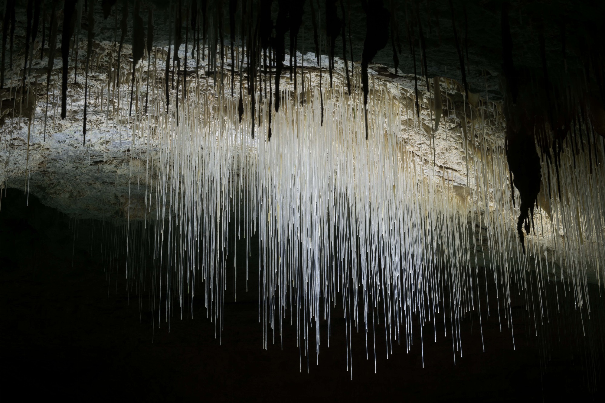
 Serge Caillault/Choranche Cave
The Cave of Choranche
choranche
 Inspired by Vercors
Immerse yourself in the intimate atmosphere of the Gorges de la Bourne at the entrance to the Vercors by walking from Saint-Nazaire-en-Royans to Rencurel on a 33km marked and marked trail along the water.

Closure of the Auberives en Royans footbridge from 20/11 to 07/12/2023
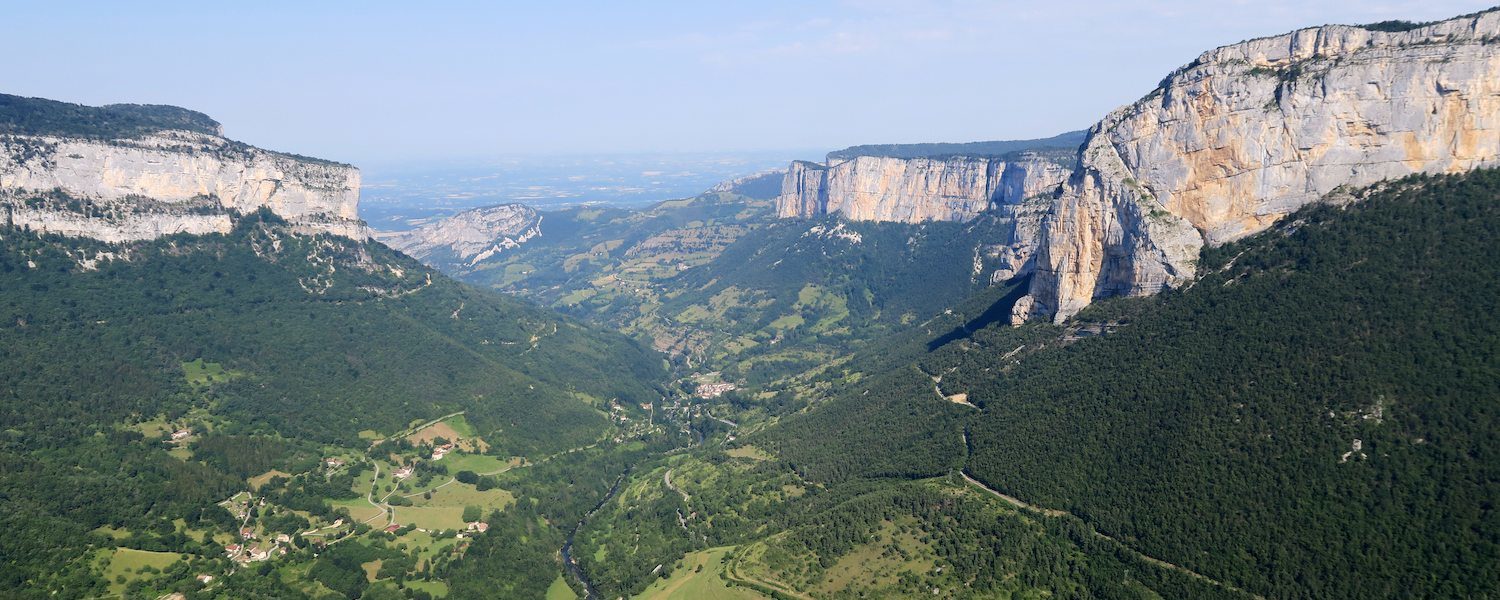
In conjunction with the Vercors Regional Nature Park, the Saint-Marcellin Vercors Isère community of municipalities is carrying out the development project for this new marked trail “Along the Bourne”. This hike takes you from the villages of Rencurel to Saint-Nazaire-en-Royans, crossing spectacular landscapes at the entrance to the Vercors massif and the Gorges de la Bourne. Over 33km, the trail crosses 8 towns straddling the departments of Isère and Drôme: Choranche, Châtelus, Rencurel, Auberives-en-Royans, Pont-en-Royans, Saint-Just-de-Claix, Sainte- Eulalie-en-Royans and Saint-Nazaire-en-Royans.
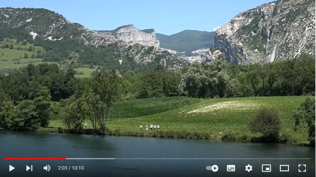
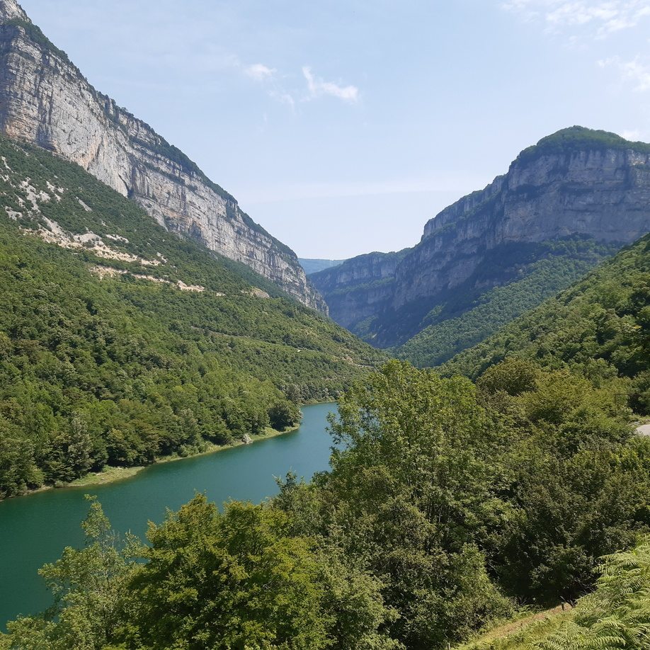
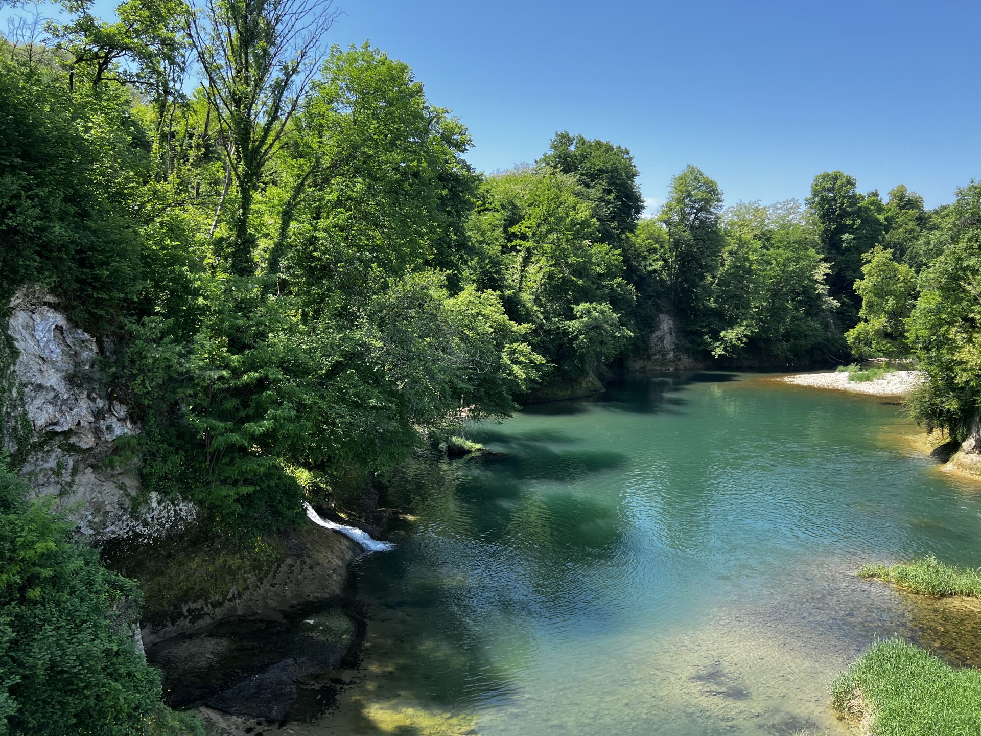
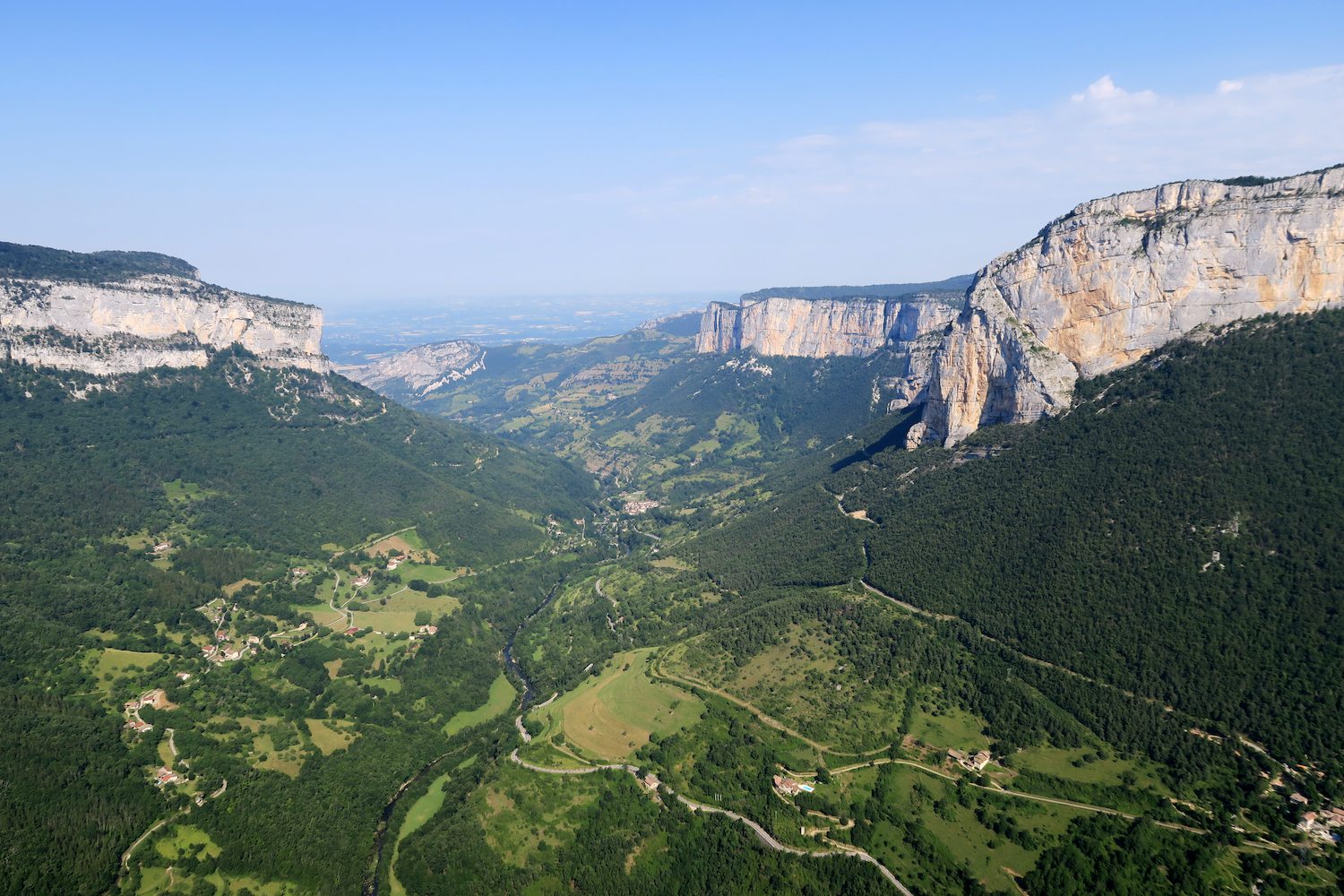
This iconic river takes its source towards Lans-en-Vercors and flows its waters to Saint-Nazaire-en-Royans. Over the years, it has dug the magnificent Gorges de la Bourne that can be admired from the sublime Vercors road of the same name that the river runs along.
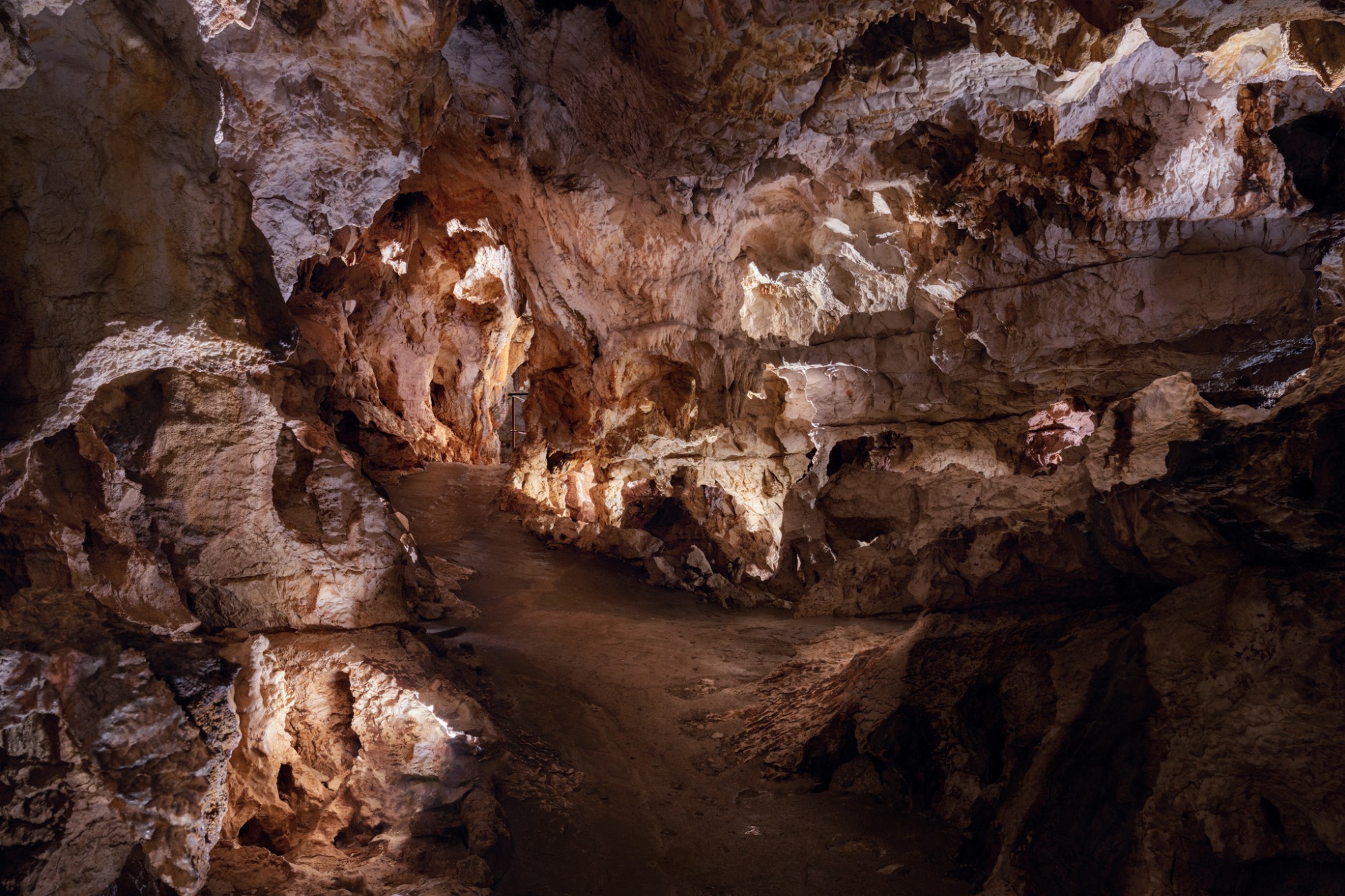
The environment and the freshness of the water make the Bourne a Mecca for brown trout fishing with many spots all along the river. Thanks to the variety of landscapes and relief, the surroundings of the Bourne represent a life-size playground for thrill seekers: the cliffs of Presles, paradise for climbers, the mythical RD531 of the Gorges de la Bourne for cycling, the Caves of Choranche for budding speleologists.
Structuring axis of the landscape of the Vercors and first river of the massif, the Bourne sculpted the territory and forced Man to adapt to its presence. The latter has carried out numerous developments to occupy the territory and take advantage of the presence of water.
 Jean-Roch Larde
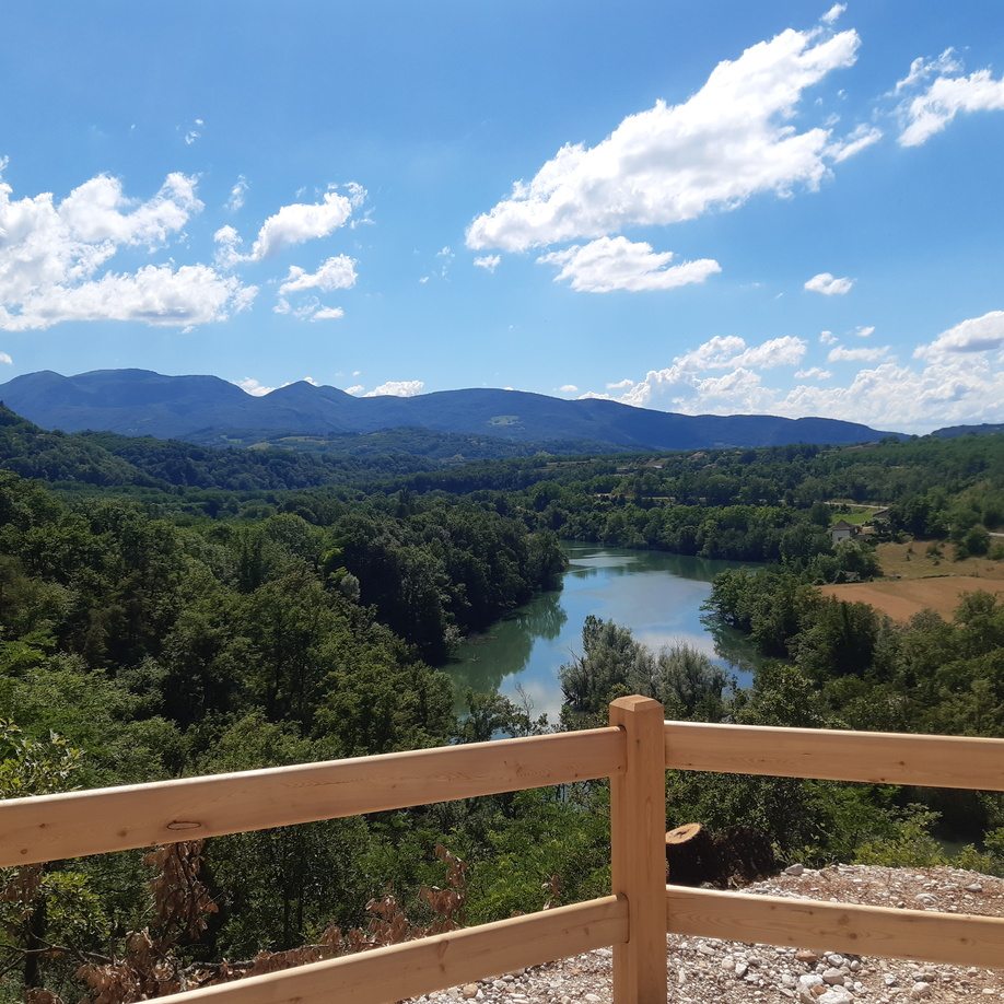 Jean-Roch Larde
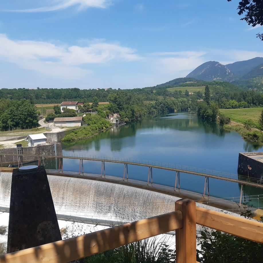 Jean-Roch Larde
Between plain and mountain plateau, the "Au Fil de la Bourne" trail highlights the role of water, which has been in action for thousands of years in the area. You will discover the challenges of yesterday and tomorrow to adapt continuously, developments made by man (walking on the water of an aqueduct, Himalayan footbridge, hanging houses, old corbelled road) or by the nature itself (Choranche caves, Bournillon circus, Bourne gorges).
This route allows you to enjoy a wide range of landscapes more or less close to the river between 160 and 730m above sea level with many panoramas and natural and historical attractions on the road.
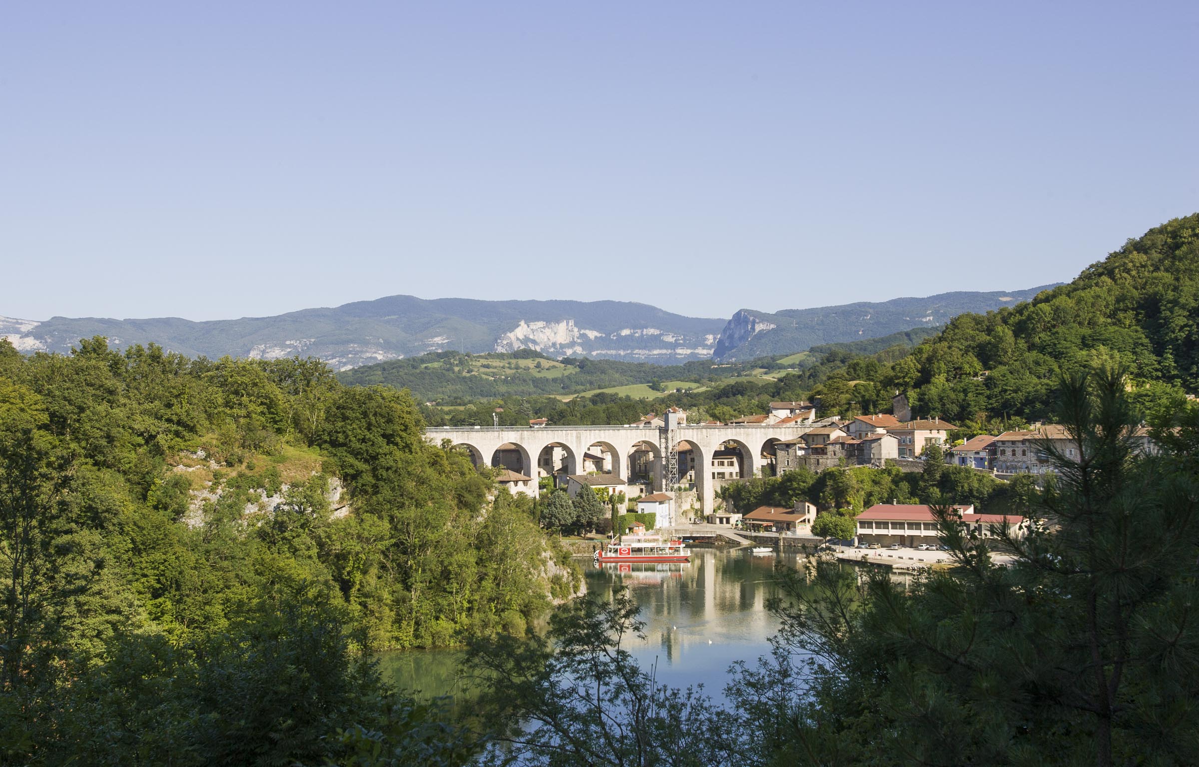
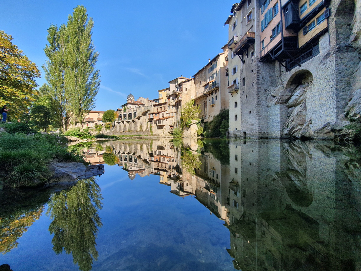
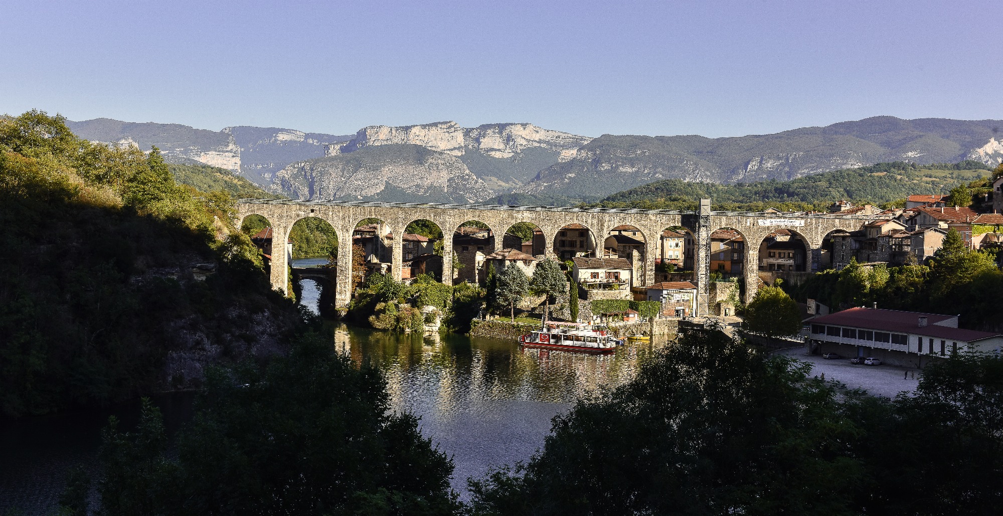
Everywhere, pretty villages follow one another along the water as well as sites not to be missed. Among the most typical, we find Pont-en-Royans at the confluence of the Vernaison with its water museum, Choranche and its mythical caves, Saint-Nazaire-en-Royans and its aqueduct at the confluence of the Bourne with the 'Isere.
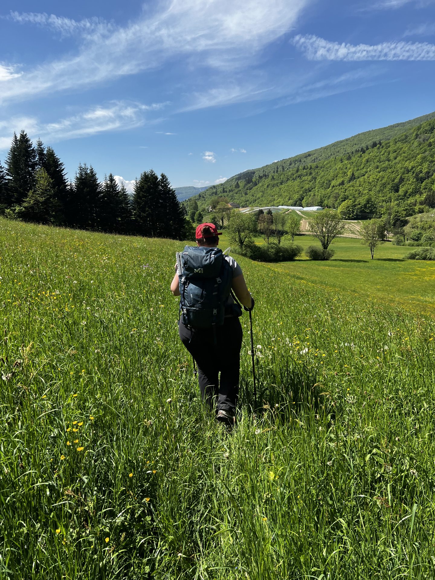
This itinerant hike over two to three days will delight both families and sports enthusiasts who will be able to build their own circuit thanks to the hundreds of kilometers of marked paths connected to this trail. Families can target the section from Saint-Nazaire-en-Royans to Pont-en-Royans with quieter paths while experienced hikers can continue on the more committed part to Rencurel.
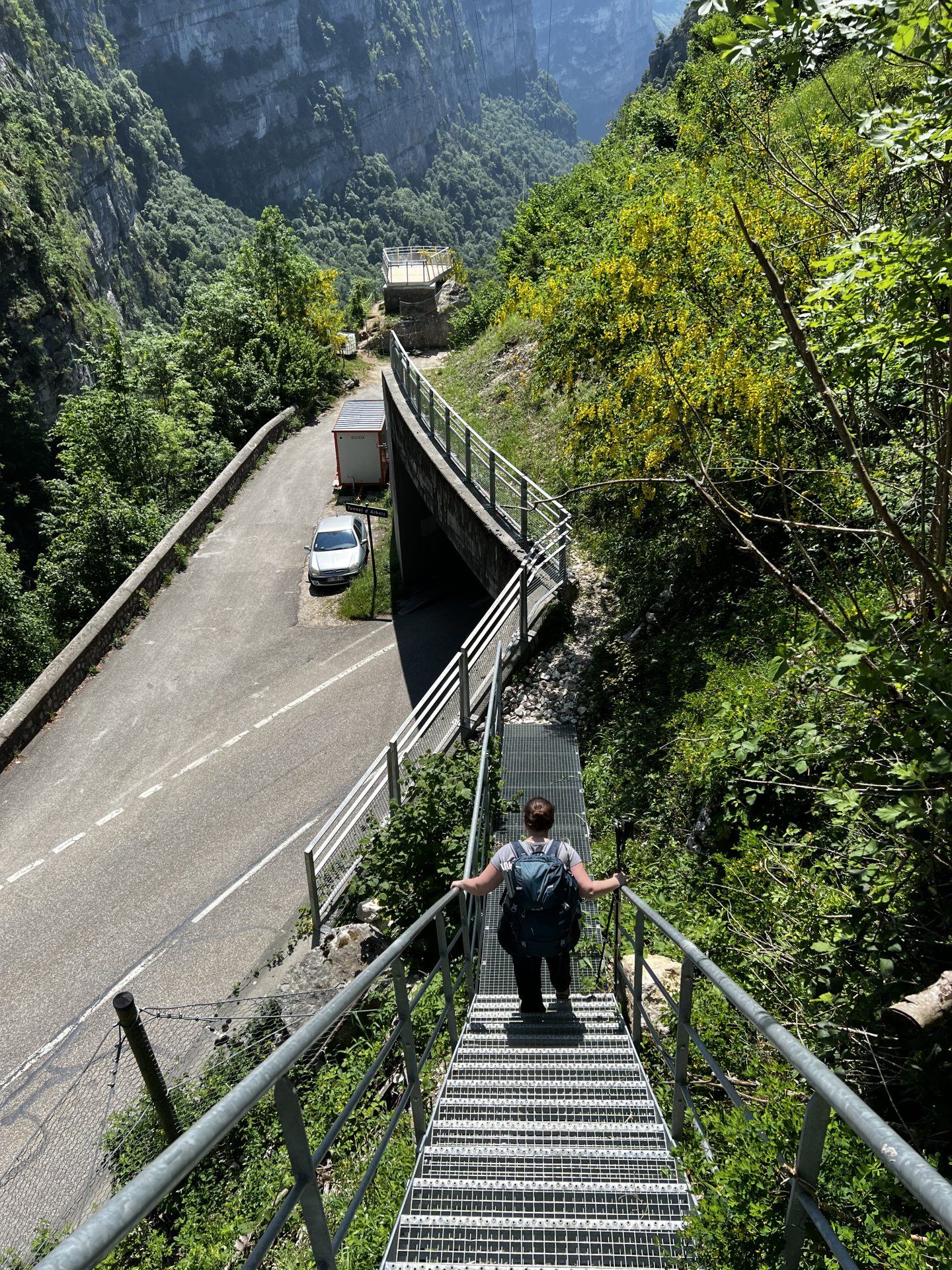
On your way, there are old sections of roads, shaded paths offering beautiful views. The route offers facilities to secure walkers looking for adventure and thrills, such as steps in the steepest areas, metal ladders, railings or cable handrails. But the path is also punctuated with moments of relaxation (lookouts, picnic tables, blanks for strolling) for all viewers and offers many opportunities to have a snack purchased from a local producer en route.
Route layout, recommendations, closing periods, road access, car parks...
Find all the practical information to organize your outing:
 Elisa Gautier
The route is an integral part of the network of short hikes marked out by the Vercors Regional Natural Park, all the routes and information for which you will find in the map guide on sale at the reception of the Tourist Office.
On site, signs will provide all the information hikers need.
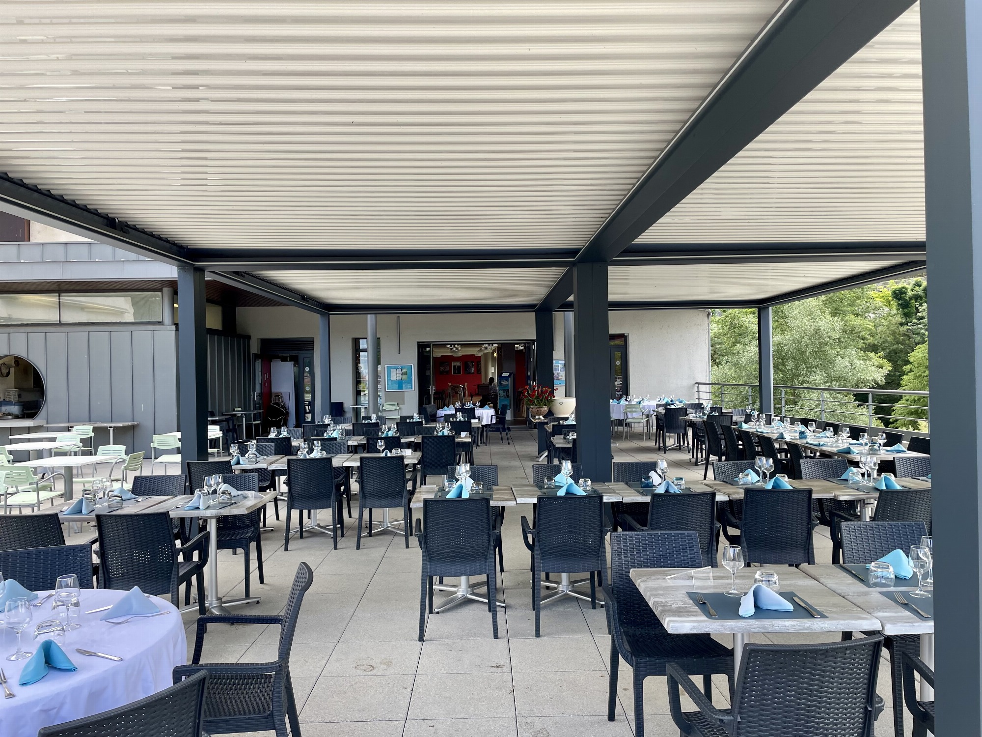
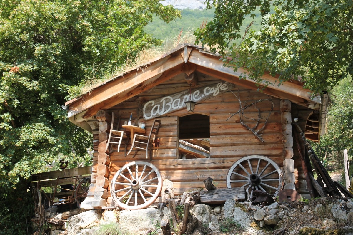
The route crosses many villages, so you will benefit from a variety of services: restaurants, small shops, direct sales at the farm, etc. You will also find all types of accommodation (huts, hotels, bed and breakfasts, campsites, etc.) along the route to organize your hike over several days at your own pace.
Accessible by train, bike or car, it is an opportunity to (re)discover the riches of a mid-mountain region.
Serge Caillault/Choranche Cavechoranche
 L.Pascale-LaDromeTourism
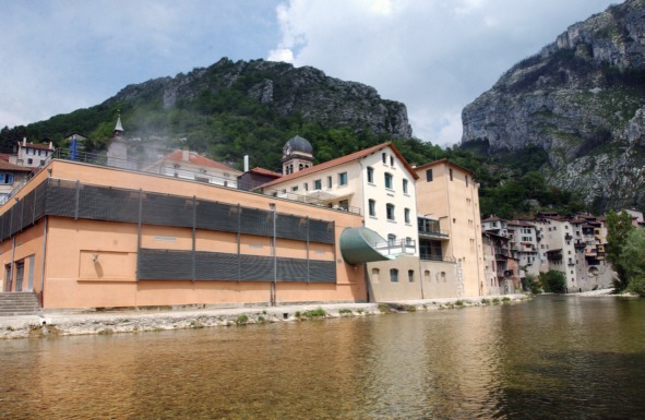
Saint-Nazaire-en-Royans
 @adelinev38 by Inspiration Vercors
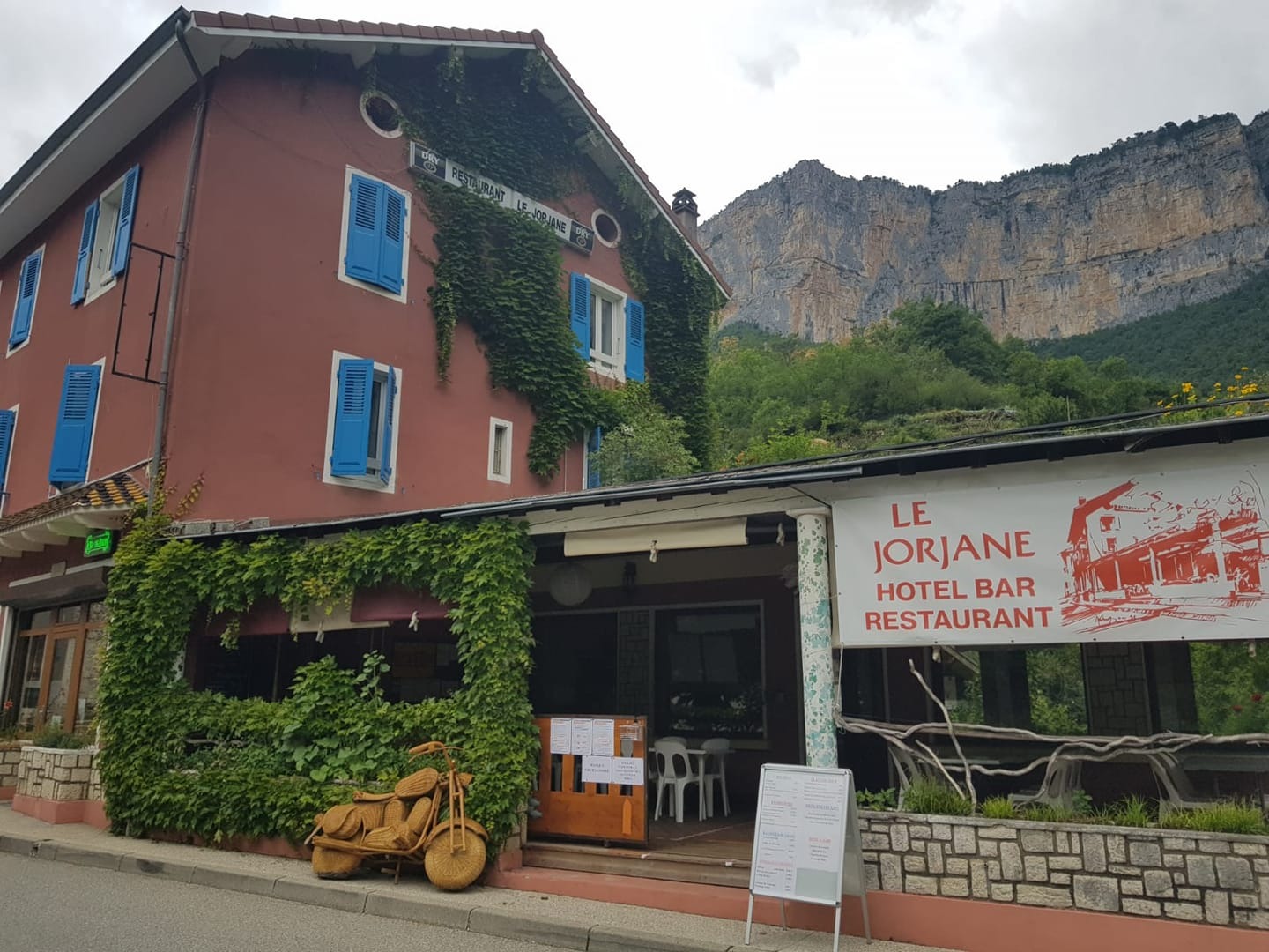
Pont-en-Royans
 Dominique Fleury
Saint-Nazaire-en-Royans
 water museum
Pont-en-Royans
 Serge Caillault
Saint-Nazaire-en-Royans
choranche
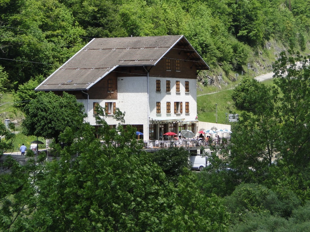
Rencurel
 Adelinev38 by Inspiration Vercors
Chatelus
 water museum
Pont-en-Royans
 Marvin AIMAR – Amandine MOULIS
choranche
Saint-Nazaire-en-Royans
Elisa and Edith experienced the Au Fil de la Bourne trail in its entirety from the Balme de Rencurel to Saint-Nazaire-en-Royans with a night at the Clos farm halfway through Châtelus.
 Inspired by Vercors