
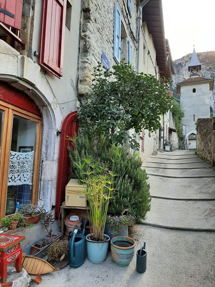
The history of Pont-en-Royans is inextricably linked to its location between the plain and the Vercors massif. Born around a strategic bridge over the Bourne River, the village developed thanks to trade, timber transport, and the ingenuity of its inhabitants. Hanging houses, ancient alleyways, and historical remains still bear witness to this rich past.

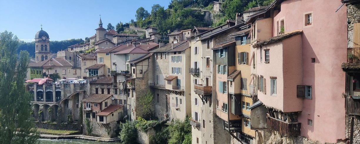
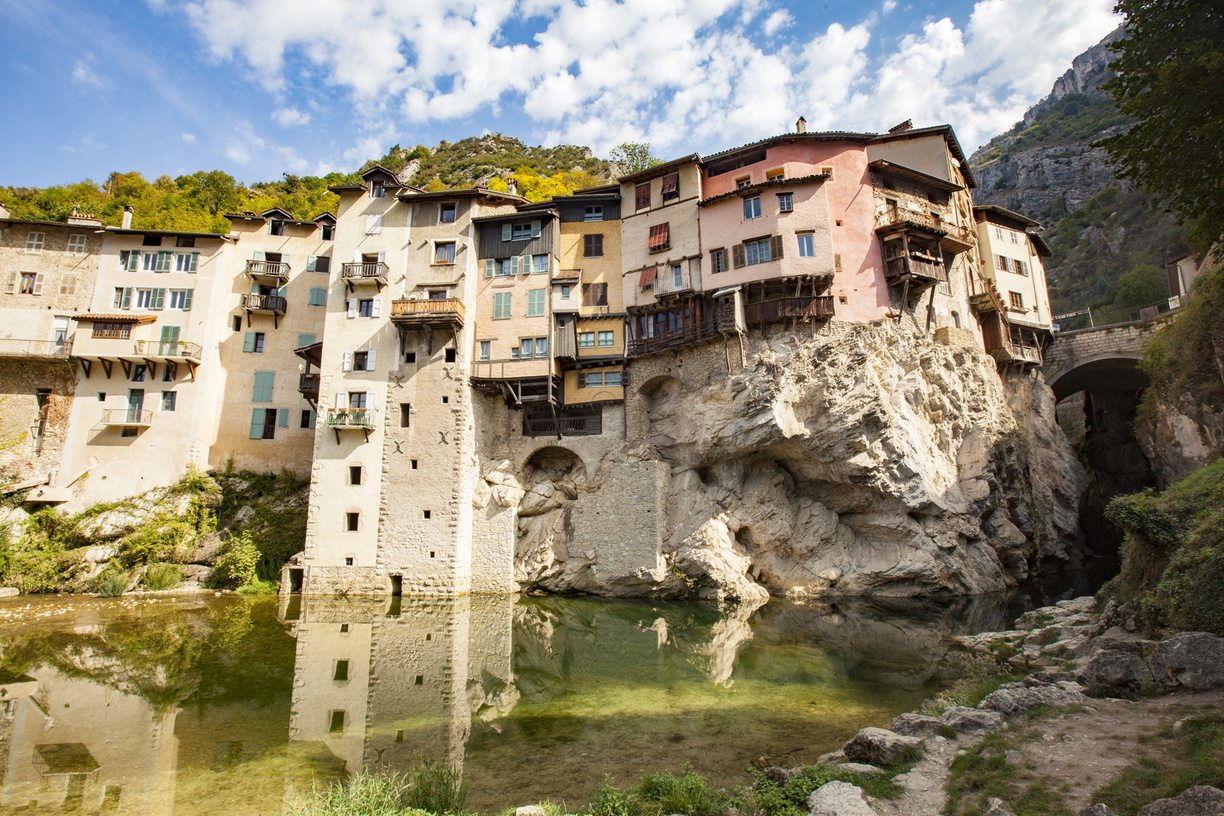
View of the hanging houses and the Picard bridge in Pont-en-RoyansClo & Clém by Inspiration Vercors

"I am responsible for the bridge."

The name of Pont-en-Royans derives directly from the bridge spanning the Bourne torrent. From the High Middle Ages, the bridge was erected between two rock piles, while next to it appeared inns and their stables, shops and therefore a real village whose priory was mentioned from the XNUMXth century. In the XNUMXth century, the Bérangers planted a small fort at the top of the rocky outcrop that dominates the strait, right bank, and gave themselves the motto "I have custody of the bridge". Trade, the protection of the castle and the ingenuity of the men who, from the XNUMXth century, built this perched village to promote the timber trade, made Pont prosper, which became the political and economic capital of Royans.

a strategic location between plains and mountains

One of the first trades developed by the mountain dwellers was the transport and trade of timber. Workers cut wood in the Vercors forests and transported the logs to Pont-en-Royans using donkeys and mules. No floating was possible upstream from Pont-en-Royans. The logs were joined together to make rafts, which they then boarded from Pont-en-Royans. The timber was transported to the South of France, specifically to Beaucaire, for the construction of boats, formerly known as galleys. Pont-en-Royans has always been a place of transit and a strategic location for trade between the products of the plains and the mountains.

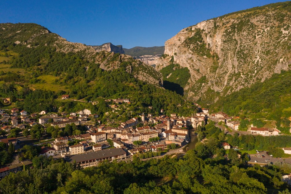
Aerial view of the village of Pont-en-Royans at the entrance to the VercorsPierre Jayet

historical remains

Undoubtedly installed shortly after the revolution in the old fortified house of the Sassenage, the mill located on the Place de la Halle turned, thanks to a fishing wheel, a factory to beat, card and spin the wool. The wheel was swept away during the 1851 flood. In 1858, the building became a woodturning center for an emigrant from the Jura: Claude Mary MAYET. Flourishing, it employed up to 48 people before moving to Saint-Eulalie-en-Royans in 1902. The building, where production was stored, caught fire in 1912. Bombed in 1944, the building was razed. Today, the media library and the contemporary art space which is aptly named La Halle are
located in a room of the old mill.

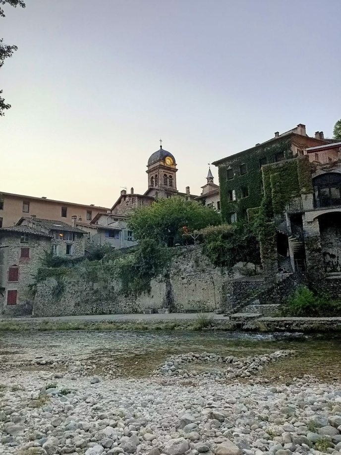
Western gateway to the Vercors Regional Natural Park and located at the start of the Bourne gorges, this medieval village is characterized by a unique architecture in the Dauphiné: houses suspended with colored facades above the void. The site, listed as a historical monument since 1944, had impressed Stendhal. Ramparts, alleys, terraced gardens, bridge, reinforce the cultural richness of the town. The pedestrian ascent to the old feudal tower of the "Three Castles" will allow you to benefit from a wide panorama on the territory of Royans.

The water museum testifies to the hydroelectric heritage of the village. Indeed, the building once housed a convent, which became a priory which passed to the Order of Saint Anthony in 1289. When the Order merged with the Order of Malta in 1780, it reverted to the latter. Subsequently, the place is transformed into a factory, a silk factory. Buildings expand during this period. The silk factory operated until 1918. The General Electricity Company moved into the same premises until the 1990s, then the water museum opened its doors in 2002. Today, an electricity company manufacturing sockets and switches is located not far from the museum and about forty employees work there, it is the Legrand company.